Early detection prevents costly correction
Aerial Intelligence for Agriculture, Energy, Infrastructure & Insurance
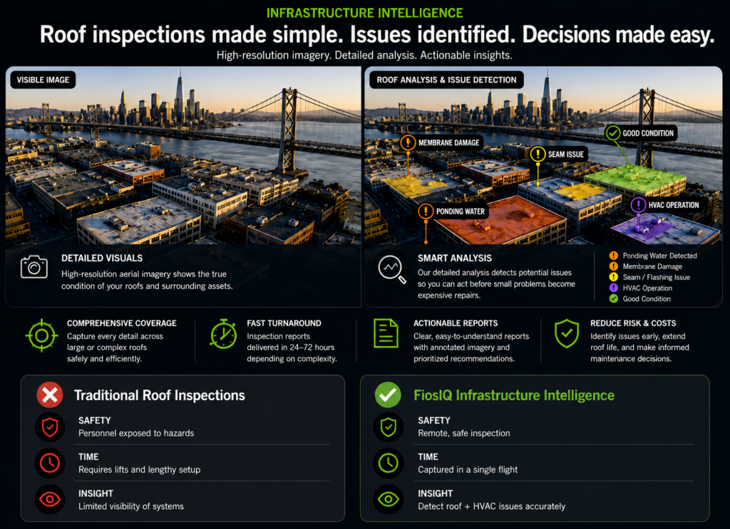
We begin by understanding the site, priorities, and operational goals — ensuring the engagement is aligned to real outcomes, not just data collection.
Define the right approach — selecting sensors, flight paths, and data strategy to capture exactly what is needed with precision and efficiency.
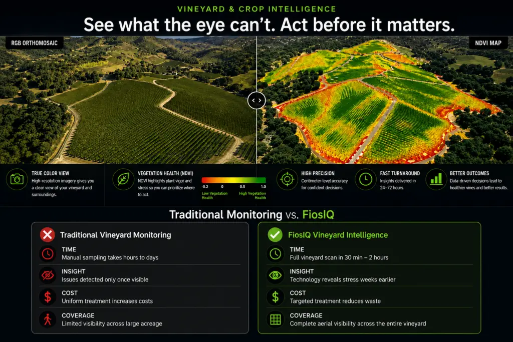
Capture high-quality data using multispectral, thermal, and visual imaging — safely, quickly, and without disruption to operations.
Process and analyze data to reveal patterns, anomalies, and opportunities that are not visible from the ground.
Provide clear, focused insights highlighting exactly where to act, why it matters, and how to move forward with confidence.
Capture high-resolution aerial data across your assets — safely, efficiently, and with precision.
Analyze data to identify issues early — from crop stress and equipment faults to structural risks.
Receive clear, prioritized insights that enable faster decisions, reduce costs, and improve performance.
The name FiosIQ comes from the Gaelic word Fios, meaning knowledge, understanding, and curiosity. It reflects both my heritage and the philosophy behind the company.
Curiosity drives discovery. Discovery leads to knowledge. And knowledge empowers better decisions.
By combining advanced drone technology, precision sensors, and powerful data analytics, FiosIQ transforms aerial imagery into actionable intelligence—helping organizations detect problems earlier, uncover hidden insights, and make smarter operational decisions.
At FiosIQ, curiosity is the starting point. Insight is the result.
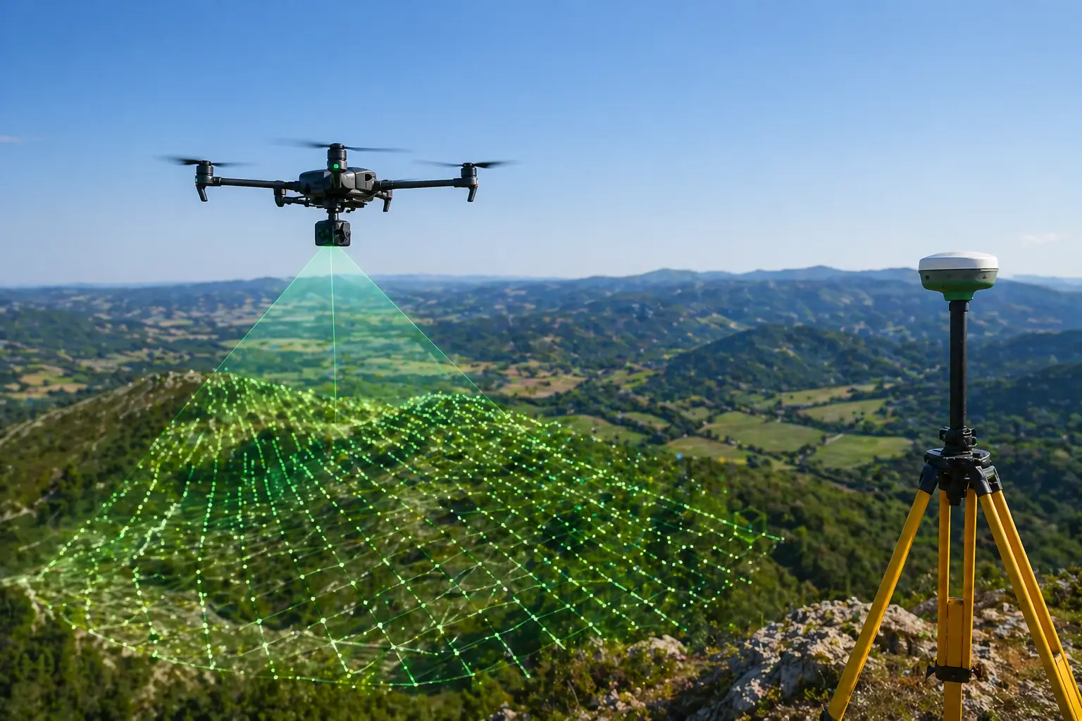
RTK-enabled drone systems deliver centimeter-level accuracy across all inspections and mapping projects.
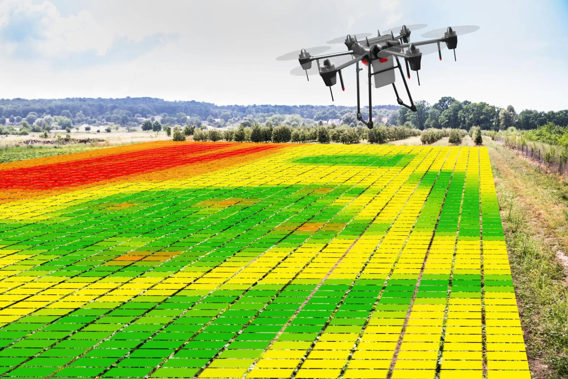
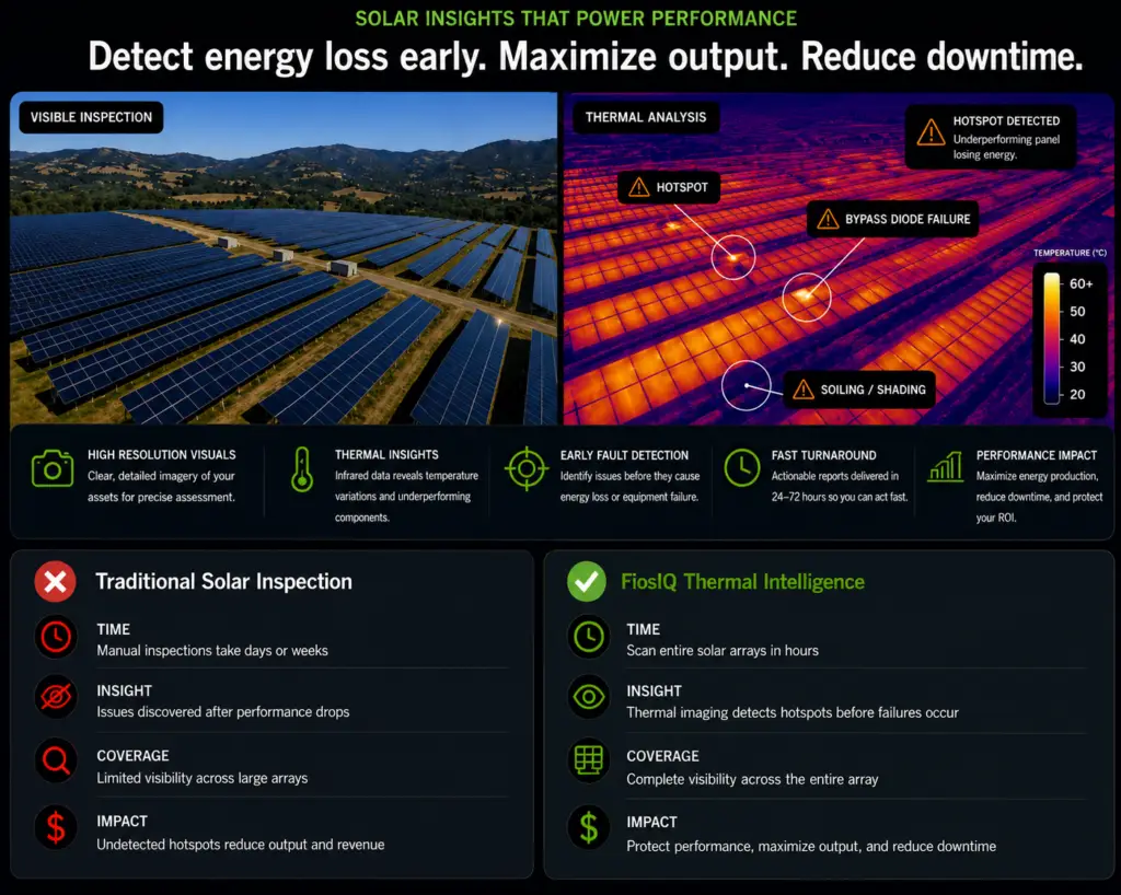
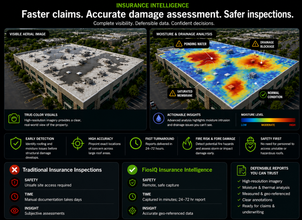
Thermal and multispectral sensors reveal issues invisible to standard inspection methods.
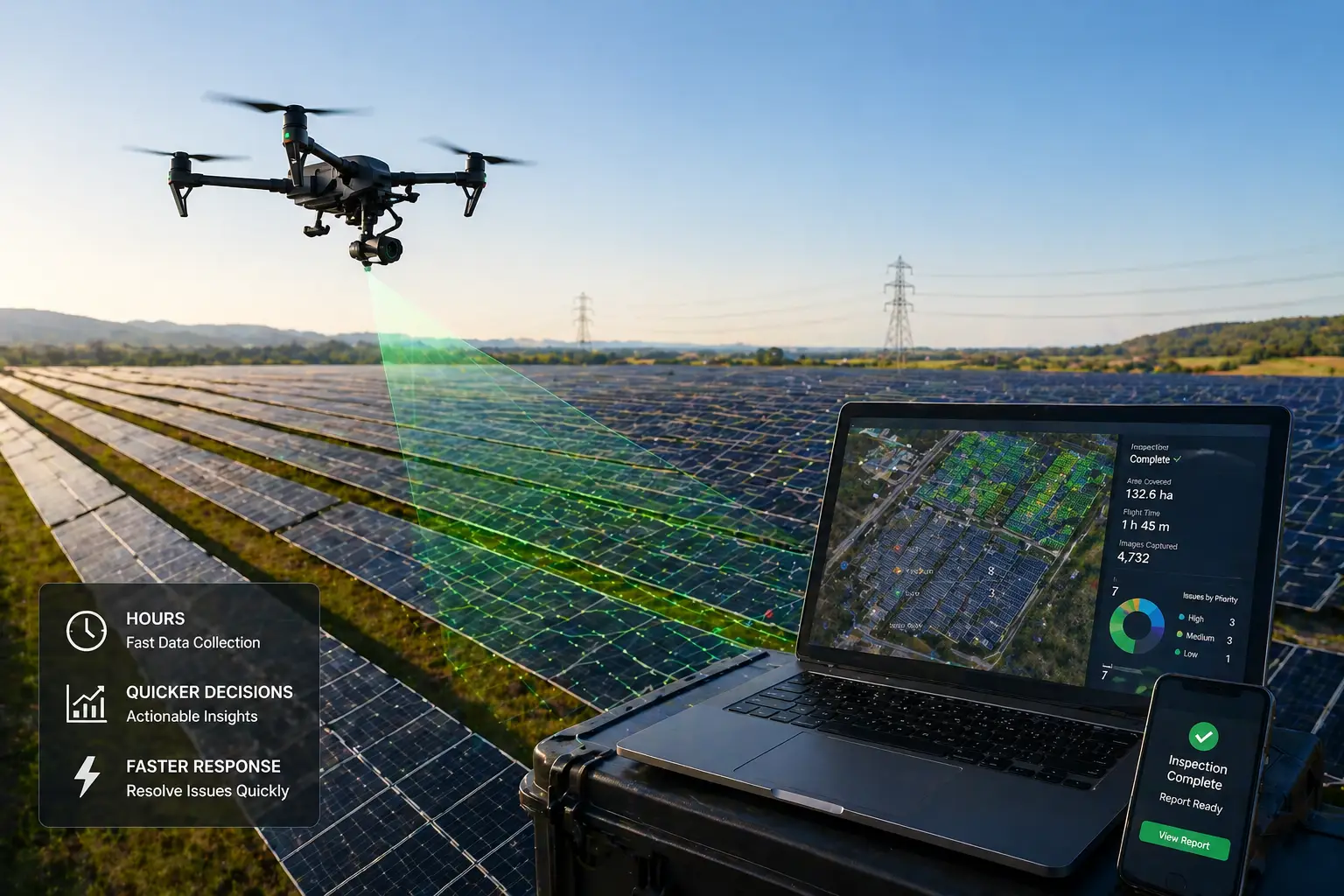
Large-scale assets can be inspected in hours, not days — enabling quicker decisions and response.
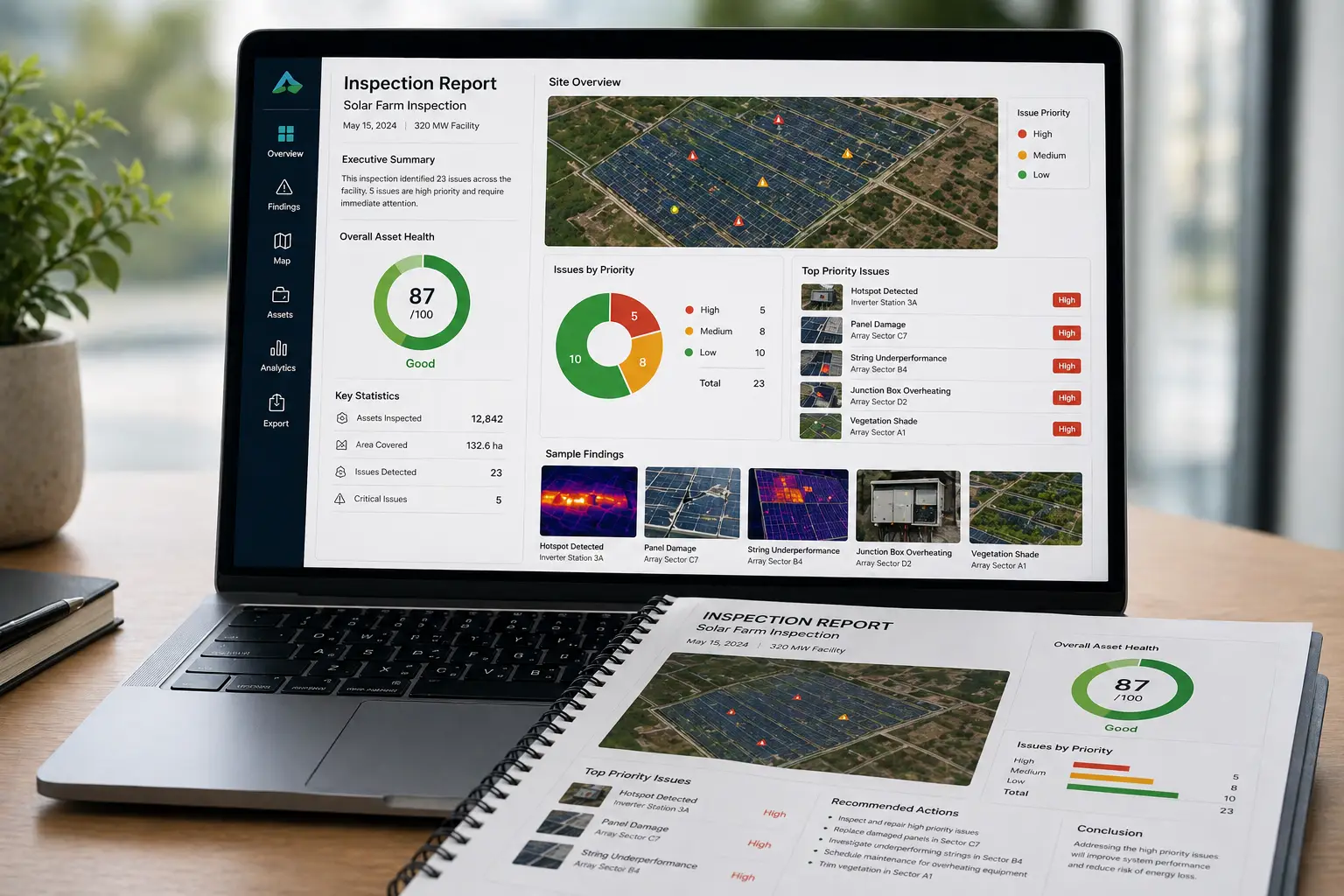
Clear, structured reports provide prioritized insights — not just raw data.
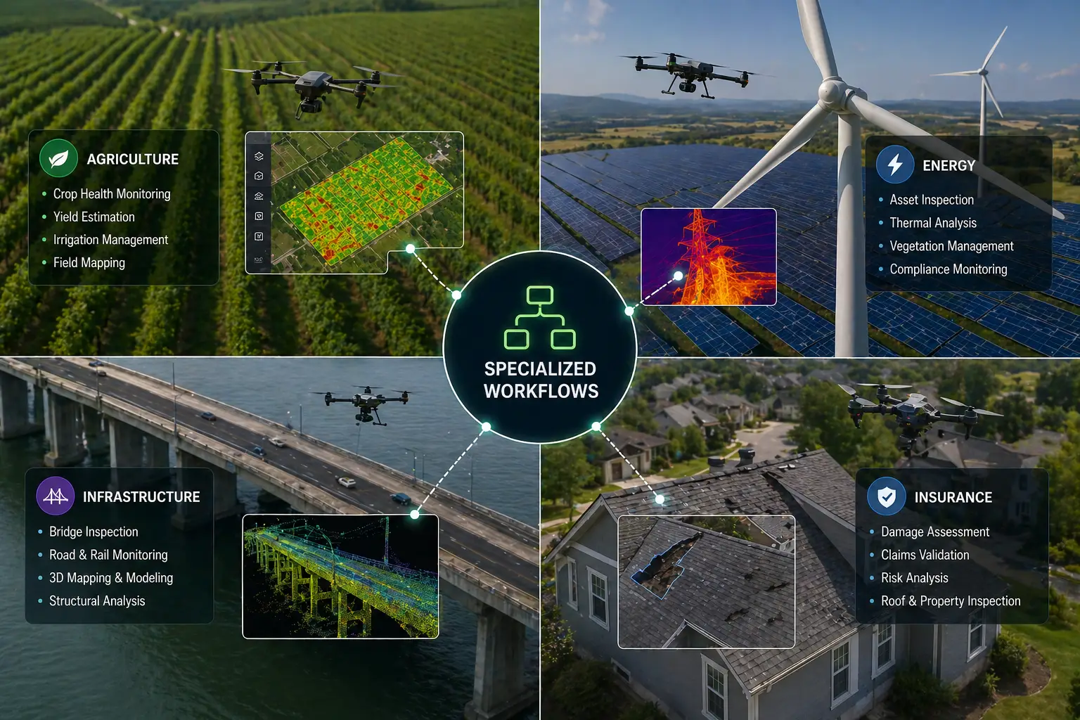
Specialized workflows for agriculture, energy, infrastructure, and insurance applications.
Purpose-built for precision agriculture. Captures multispectral NDVI data across large areas with centimeter-level RTK accuracy — revealing crop health patterns invisible at ground level.
Advanced enterprise-grade thermal and visual sensing for solar diagnostics, infrastructure inspection, and disaster assessment. Detects hotspots and structural anomalies with precision.
San Francisco Bay Area
Available for projects across California
FAA Part 107 Certified Commercial UAS Operator
$1M insurance liability coverage